Interactive maps and web GIS development
Interactive maps and web GIS development, with layers, search, drawing, measuring and analysis over your geographic data. For municipalities, companies and projects that show places.
What it is
An interactive map shows your data on the land and lets people explore it. They can turn layers on and off, search for a place, draw an area and see what crosses it. It can show a plan, a route, a network or an inventory, or let technical staff look at geographic data without installing software.
Where the experience comes from
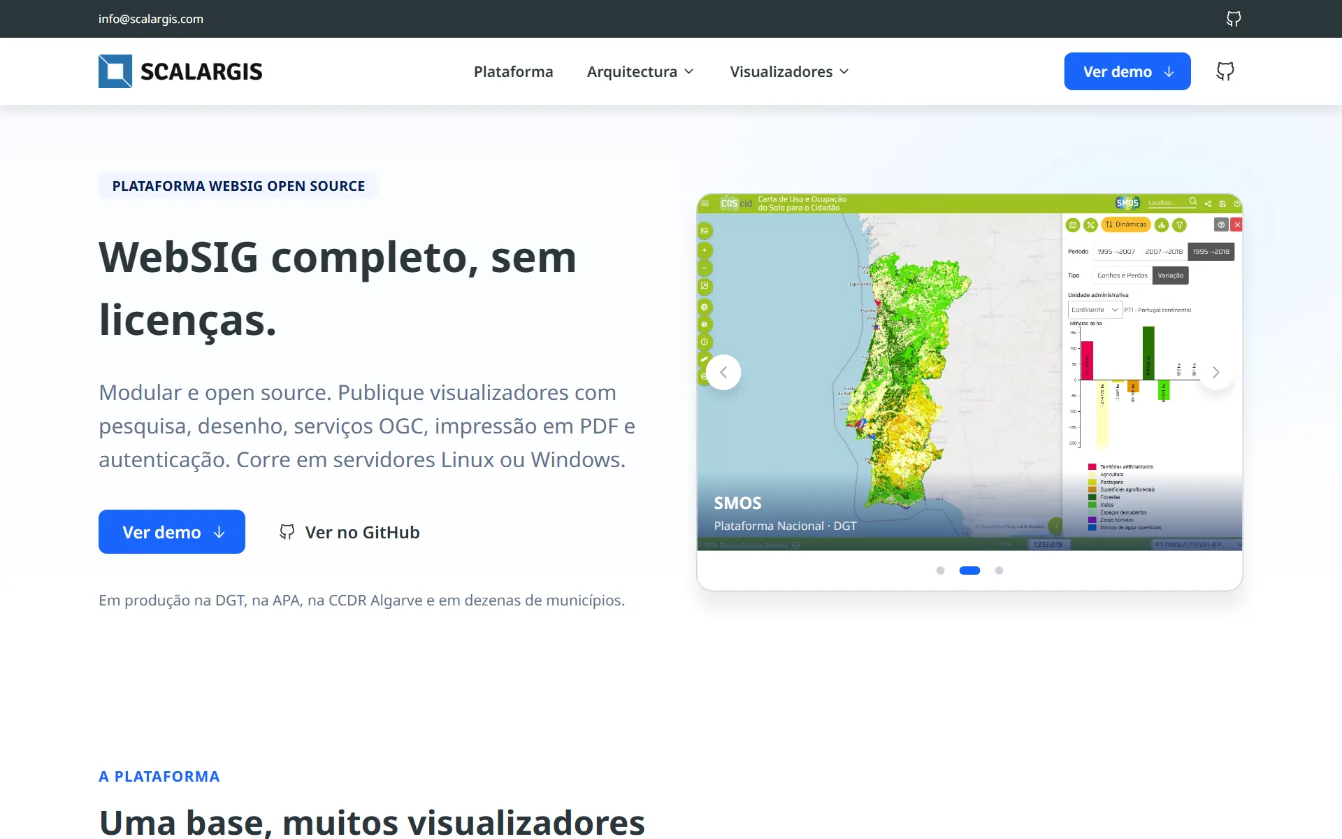
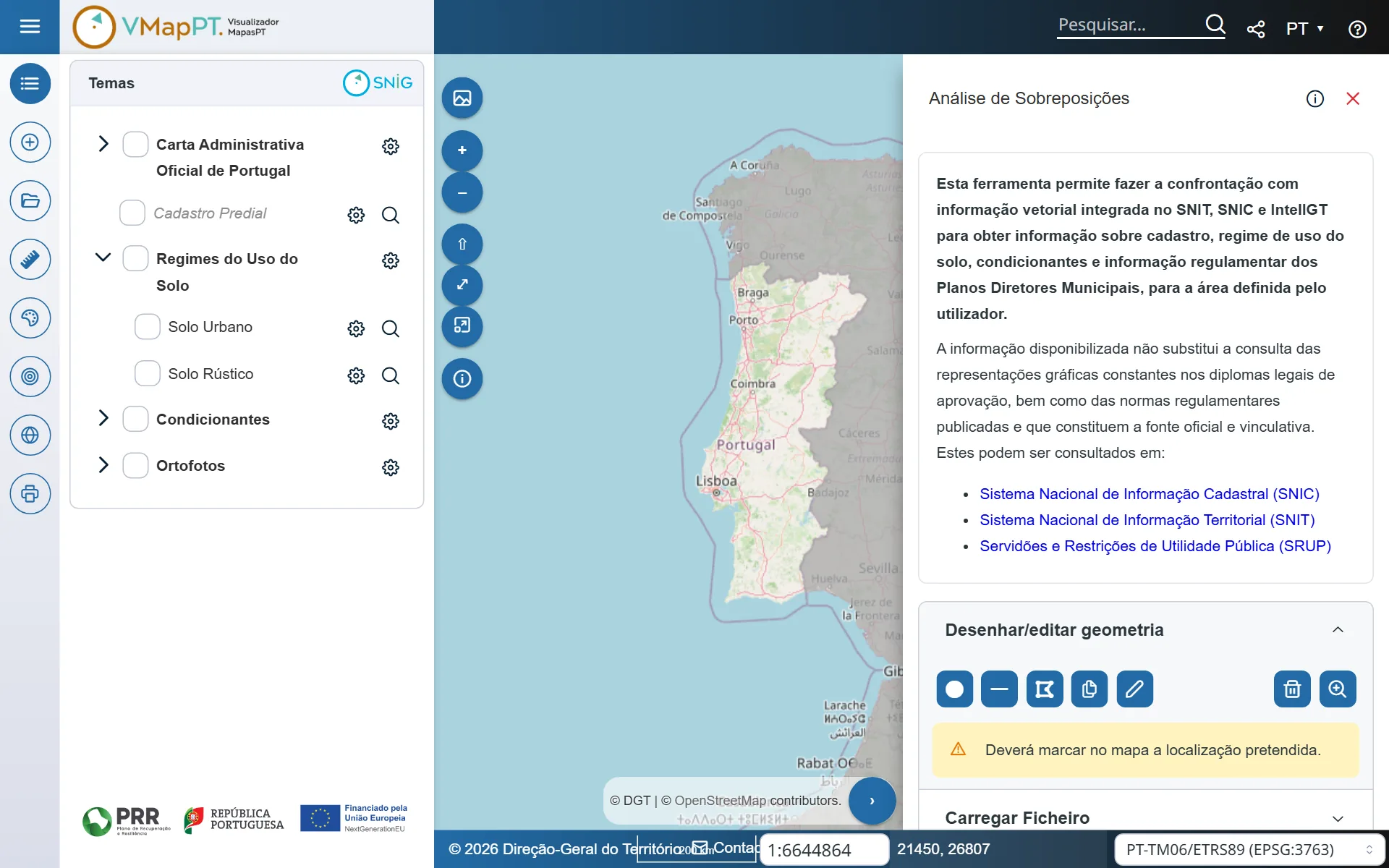
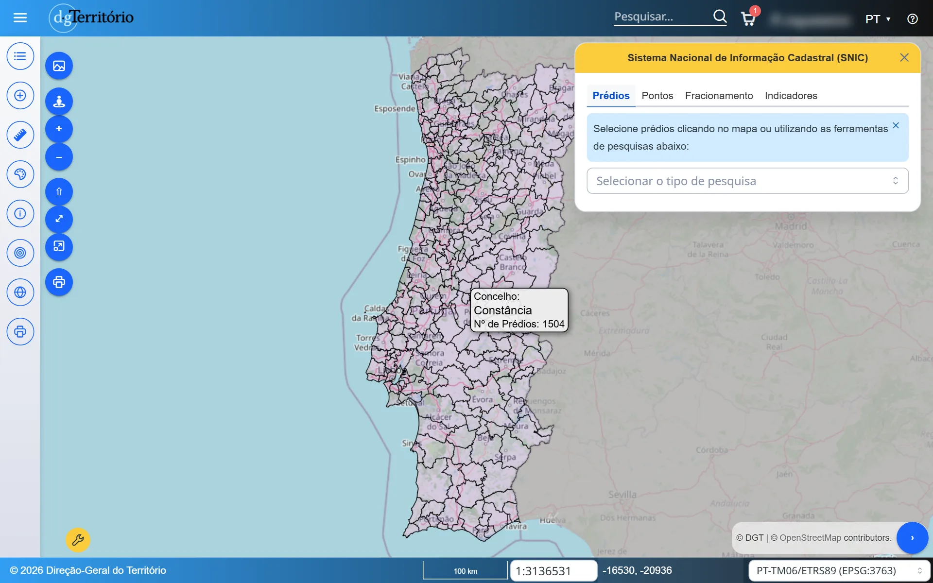
I work every day as a developer on ScalarGIS, an open source web mapping platform in production at Portugal’s national mapping agency (DGT) and at municipalities. In that job I built the analysis tool of MapasPT and the shop of SNIC3, as a developer at WKT.
What form it can take
A simple map fits inside a website. A map with accounts, data that changes every day or analysis tools is a web app, with its own server and a geographic database.
Related work
Do you have a project in mind?
Tell me what you need. Each project gets its own quote, with no commitment.
Get in touch